Hry

Prečítate na zariadeniach:

  • Pocketbook
  • Kindle
  • Smartfón či tablet s príslušnou aplikáciou
  • Počítač s príslušnou aplikáciou

Nie je možné meniť veľkosť písma, formát je preto vhodný skôr pre väčšie obrazovky.

Viac informácií v našich návodoch

Prečítate na zariadeniach:

  • Pocketbook
  • Kindle
  • Smartfón či tablet s príslušnou aplikáciou
  • Počítač s príslušnou aplikáciou

Viac informácií v našich návodoch

Prečítate na:

Neprečítate na:

Ako čítať e-knihy zabezpečené cez Adobe DRM?
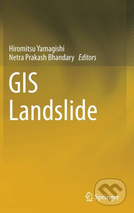
Kniha: GIS Landslide (Hiromitsu Yamagishi a Netra Prakash Bhandary). Springer Verlag, 2017

GIS Landslide

This book presents landslide studies using the geographic information system (GIS), which includes not only the science of GIS and remote sensing, but also technical... Čítať viac

Vydavateľstvo
Springer Verlag, 2017
Počet strán
230

This book presents landslide studies using the geographic information system (GIS), which includes not only the science of GIS and remote sensing, but also technical innovations, such as detailed light detection and ranging profiles, among others... Čítať viac

  • Pevná väzba
  • Angličtina
Cena: 126,11 €
Na objednávku
Dodanie môže trvať viac ako 30 dní
Tento produkt je na objednávku a jeho dodanie môže trvať aj viac ako 30 dní. Urobíme však všetko pre to, aby sme vašu objednávku odoslali čo najskôr a o jej ceste vás budeme včas informovať.

Naši škriatkovia odporúčajú

Predpredaj spustený. Hokejová romantika, ktorú si zamiloval svet. Kniha Nové pravidlá hry, Rachel Reid. Vydaavateľstvo Ikar, 2026. Zistiť viac

Viac o knihe

This book presents landslide studies using the geographic information system (GIS), which includes not only the science of GIS and remote sensing, but also technical innovations, such as detailed light detection and ranging profiles, among others. To date most of the research on landslides has been found in journals on topography, geology, geo-technology, landslides, and GIS, and is limited to specific scientific aspects. Although journal articles on GIS using landslide studies are abundant, there are very few books on this topic. This book is designed to fill that gap and show how the latest GIS technology can contribute in terms of landslide studies. In a related development, the GIS Landslide Workshop was established in Japan 7 years ago in order to communicate and solve the scientific as well as technical problems of GIS analyses, such as how to use GIS software and its functions. The workshop has significantly contributed to progress in the field.

Included among the chapters of this book are GIS using susceptibility mapping, analyses of deep-seated and shallow landslides, measuring and visualization of landslide distribution in relation to topography, geological facies and structures, rivers, land use, and infrastructures such as roads and streets. Filled with photographs, figures, and tables, this book is of great value to researchers in the fields of geography, geology, seismology, environment, remote sensing, and atmospheric research, as well as to students in these fields.
Naše katalógové číslo
790739
Počet strán
230
Väzba
pevná väzba
Rozmer
157×242 mm
ISBN
9784431543909
Rok vydania
2017
Jazyk
angličtina
Vydavateľstvo
Springer Verlag
Kategorizácia

Našli ste chybu alebo škodlivý obsah? Dajte nám, prosím, vedieť!

Nahlásiť chybu alebo škodlivý obsah

Máte o knihe viac informácií ako je na tejto stránke alebo ste našli chybu? Budeme vám veľmi vďační, ak nám pomôžete s doplnením informácií na našich stránkach.

Hodnotenia

Ako sa páčila kniha vám?

Namaľoval si nejakého hrozne čierneho čerta na stenu a uteká pred ním. No dobre. Ľudia sa všelijako bláznia. Či ja nevyvádzam sprostosti? Ono maľovaný čert sa trochu ošúcha, a vtedy hneď sa uvidí, že nie je ozajstný.
Kniha: Zobrané spisy zväzok II (Jozef Cíger Hronský), 2005
Zobrané spisy zväzok II
  • Jozef Cíger Hronský