Autor H. Martin Trauth
Zúžiť výber
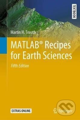
MATLAB (R) is used in a wide range of geoscientific applications, e.g. for image processing in remote sensing, for creating and processing digital elevation models, and for analyzing time series. This book introduces readers to MATLAB-based data...
-
KnihaleporeloVypredanéAch, mrzí nás to, z tejto knihy sa už predali všetky výtlačky a nemáme ju na sklade my ani vydavateľ :( Teoreticky však môžete mať šťastie v niektorých iných obchodoch, ktoré ešte nepredali posledné kusy.
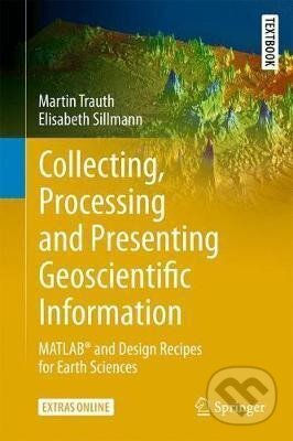
This second edition is an intensively revised and updated version of the book MATLAB (R) and Design Recipes for Earth Sciences. It aims to introduce students to the typical course followed by a data analysis project in earth sciences. A project usually...
-
VypredanéAch, mrzí nás to, z tejto knihy sa už predali všetky výtlačky a nemáme ju na sklade my ani vydavateľ :( Teoreticky však môžete mať šťastie v niektorých iných obchodoch, ktoré ešte nepredali posledné kusy.